Understanding the Ischgl Piste Map: Visual Elements, Symbols & Markings
At the core, the Ischgl piste map offers a highly visual representation of the area.
- Color-coded slopes:
- Blue = easy/beginner
- Red = intermediate
- Black = advanced
- Lifts: Distinctive symbols differentiate chairlifts (often highlighted in orange), cable cars (bold double lines), and drag lifts (dotted lines).
- Key hubs: Symbols mark Idalp (central mid-mountain), Palinkopf, Bodenalp, Pardatschgrat, Gampenalp, Thaya, and Dorf.
- Emergency & rest points: SOS symbols and hut/cup icons highlight vital rescue locations and best places for breaks.
- Additional elements: Snowparks, fun zones, off-piste, and avalanche-prone areas have dedicated icons and patterned borders.
- Directional arrows: Indicate recommended descent flows, helping avoid bottlenecks at major intersections.
Once you decode these color codes and symbols, you move confidently across Ischgl, planning each run to suit your pace, ability, and preference.
Route Planning for Every Skier: Families, Sport Enthusiasts & Touring Fans
For families:
- Focus on blue runs radiating from Idalp, especially gentle loops toward Thaya and below Gampenalp.
- The map guides you to areas with convenient Sesselbahn access, regular pause spots, and sun terraces.
For sporty intermediates:
- Red pistes connect salient hubs like Salaas and Palinkopf, creating long, flowing mileage loops with stunning panoramic stops.
- The piste map simplifies linking fast chairlifts for seamless progress and maximized slope time.
Expert skiers:
- Black routes below Palinkopf and Paznauner present a true challenge.
- The map lets you chart advanced off-piste segments and direct transitions to Samnaun for ambitious circuit days.
With difficulty and sector segmentation mapped out so clearly, you have full flexibility—start with a sunrise run at Pardatschgrat, mix long reds and panoramic viewpoints, and end your day back in Dorf, all engineered with a glance at the piste plan.
Navigating Ischgl’s Main Ski Hubs, Lifts & Key Junctions
Ischgl is organized around several central lift stations and hubs:
- Dorf (village): Gateway to the ski world—pick up your gear, check info, and access the mountain via base lifts.
- Idalp: The heart of the resort. This crucial mid-mountain hub sees major chairlift (Sesselbahn) and cable car (Pendelbahn) links converge. Access blue, red, and black runs, and find ample restaurants and sun decks.
- Palinkopf & Bodenalp: From Idalp, modern lifts whisk you up to Palinkopf’s vast amphitheatre and to Bodenalp, the launchpad for both scenic alpine cruising and onward routes into Switzerland via Samnaun.
- Pardatschgrat, Gampenalp, Velill, Thaya: Each is marked for orientation, rest stops, and connection to a wide spectrum of pistes.
Thanks to meticulous signposting, mapped junctions, and broad, well-marked arterial pistes, there’s no confusion—just efficient, purposeful exploration.
Cross-Border Adventure: Ischgl–Samnaun Connection
The Ischgl piste map stands out for making international skiing straightforward.
- Samnaun Link: Clearly drawn boundary lines and color bands mark the cross-border routes—ideal for both leisure skiers and ambitious day-trippers.
- Lifts & Customs: Pendelbahn and Sesselbahn icons chart your way, while special map symbols denote customs crossings and highlight Samnaun’s unique duty-free shopping.
- Junctions: Idalp and Palinkopf are your main transition points, with planned itineraries making your border-hopping experience smooth and predictable.
Simply check the map for current border, customs, and lift operations to enjoy a seamless cross-country adventure.
Safety Tips: Reading Hazards, Rescue Points & Adapting to Conditions
Priority one is excitement—never risk. The Ischgl piste map is designed to not just navigate but also to protect:
- Hazard zones: Clearly marked in orange or red hatching, signaling avalanche risk, steep slopes, or potential closures.
- Rescue points: Standard cross or SOS symbols at key stations (Palinkopf, Idalp, Bodenalp, and junctions) for fast emergency assistance.
- Weather & Avalanche Data: Consult the map in tandem with real-time bulletins posted at the Dorf, Idalp, and main station info boards—use these to adapt your route.
If the weather changes, simply switch to lower, tree-lined slopes, or pause at mapped huts/restaurant refuges. Respect off-piste boundaries and always carry or consult avalanche equipment and local guides for any unpatrolled exploration.
Practical Services: Rental, Ski School & Best Break Spots
Flawless ski days hinge on more than snow—they depend on seamless access to equipment, learning, and relaxation:
- Equipment rental: The map highlights Alpy.com’s fast, premium ski hire points—at the Dorf base and Idalp—for zero-hassle pickup, quality gear, and smooth start.
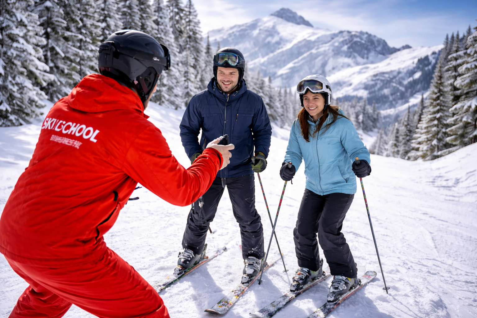
- Ski school zones: Look for ski school icons at Idalp, alongside beginner runs at Pardatschgrat and Salaas—ensuring expert help is always nearby.
- Mountain huts & restaurants: Cup and sun-terrace icons from Gampenalp to Thaya and along Samnaun runs reveal prime rest and dining spots.
- Flexible planning: Replot routes at lunch using the piste map—make the most of every weather change and energy swing.
Everything you need for a stress-free, memorable ski adventure is charted—making the piste map an essential part of every Ischgl visit.
FAQ: Ischgl Piste Map—Your Top Questions Answered
Which color marks easy slopes on the Ischgl piste map?
Blue indicates beginner- and family-friendly pistes around Idalp, Thaya, and Gampenalp sectors.
How can I spot a Sesselbahn or Pendelbahn?
Sesselbahn (chairlift) is drawn as bold, distinctive colored lines—often orange. Pendelbahn (cable car) appears as double or rope-symbol lines.
Where are the border crossings to Samnaun?
Marked at Palinkopf and Bodenalp, with border symbols and in-map notices, including Samnaun’s duty-free shopping highlights.
How are rescue points shown on the piste map?
Standardized crosses or SOS icons mark all main rescue spots at Idalp, Palinkopf, Bodenalp, and major lift intersections—making emergency help easy to locate.
How can I use weather and avalanche data with the piste map for safety?
Daily avalanche and weather bulletins are posted at Dorf and Idalp stations—combine these updates with your piste map to optimize safety and route choice on the mountain.
Conclusion: Make the Most of Your Ski Trip with the Ischgl Piste Map
Maximize your Ischgl experience by treating the piste map as your personal winter concierge—guiding you from the first lift at Pardatschgrat to your last run into Dorf. Every detail is mapped: color-coded pistes, strategic lift connections, cross-border excitement in Samnaun, and seamless access to rental and ski school services.
Consult the piste map for snow-sure routes, smart rest stop planning, and adaptability in any weather—ensuring each day is safe, exhilarating, and tailored for you. Combine this with fast, premium ski rental partners like Alpy.com, and your ski adventure becomes as organized as it is unforgettable.
Book your gear with Alpy.com now, plan with confidence, and enjoy every Ischgl piste to the fullest—stress-free from first turn to last.